Community Tools
Connecting water managers, agricultural producers, researchers, Extension personnel and others with information, case studies, decision support tools, maps, and data for their location and situation.
agInnovation-West
The office of agInnovation-West manages between 60-80 multistate projects. agInnovation-West, one of five such regional associations in the US , includes 13 western states and the 4 Pacific trust territories. The office takes care of program management, regular needs assessments, facilitating project development and review, and ensuring accountability.
Water Adaptation Techniques Atlas (WATA)
As changing conditions challenge the assumptions upon which the dams and canals of the past century were constructed, new efforts are taking shape at multiple scales to cope with water scarcity. WATA seeks to document these efforts, whether they are concerned with reducing water use, increasing water supply, or changing the way water flows through the landscape.
Western Water Network (WWN)
The Western Water Network connects stakeholders, researchers, and decision-makers across local, regional and Westwide scales to share and receive successful community water management experiences and develop stakeholder, researcher and policymaker collaborations.
USDA Climate Hubs topic page on water
In the United States, some areas are expected to become drier as the climate changes (including changes in average temperature and average precipitation). Other areas are predicted to become wetter. The frequency of extreme weather events – severe floods, persistent drought, and severe storms – is also expected to change in some regions.

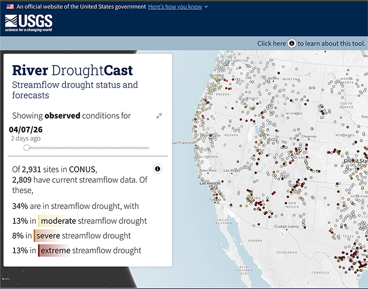
USGS River DroughtCast
The U.S. Geological Survey released a new machine learning tool that forecasts droughts up to 90 days ahead nationwide. The tool may provide communities extra time to prepare for water shortages that could impact agriculture, municipal supplies, recreation and ecosystems. The tool forecasts streamflow drought, which is when rivers and streams drop below normal levels for extended periods, which may directly impact water availability even when rainfall returns to normal.
The USGS River DroughtCast uses machine learning models trained on data from thousands of USGS streamgages, some with more than 100 years of continuous records, to forecast when rivers and streams will drop to abnormally low levels.
More information here, from USGS Communications
TroutCast
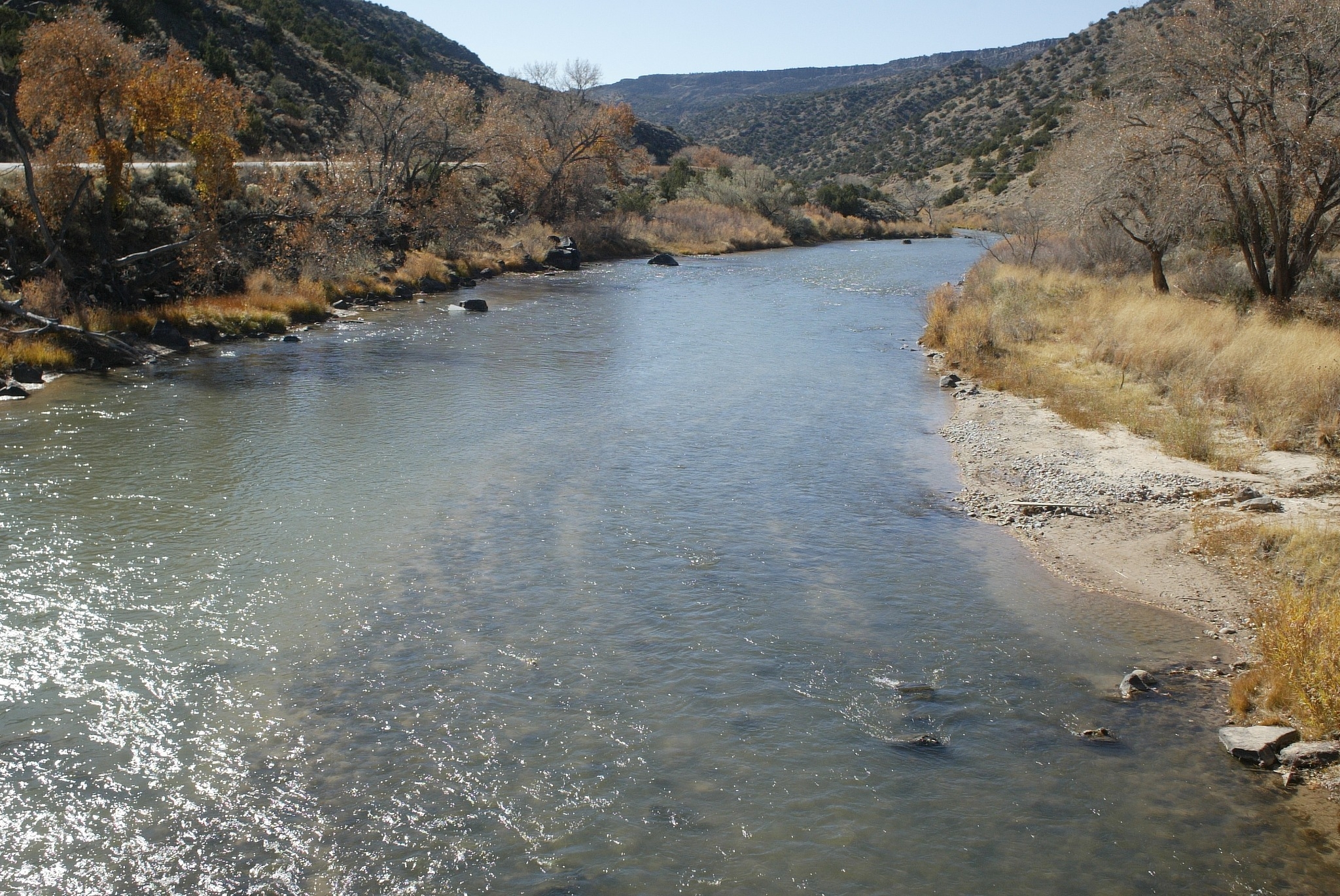
Troutcast helps forecast drought impacts on trout populations and support fisheries and water management across Montana’s renowned blue-ribbon rivers.
Troutcast is funded by NIDIS and developed through a partnership among the U.S. Geological Survey (USGS), Montana State University, and Montana Fish, Wildlife & Parks, troutCast provides seasonal and long-term forecasts of trout population trends and drought risk. The tool also estimates the likelihood of fisheries management actions triggered by drought-related low streamflows or elevated water temperatures.
More information about the web-based tool Troutcast